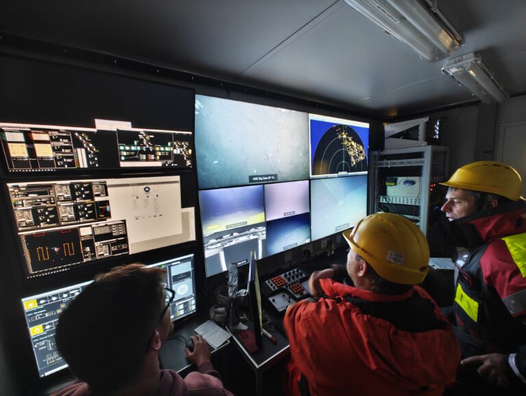
Not every day do you get the opportunity to dive deep beneath the surface and explore places that few humans have ever seen.
In CRIS we were delighted to take part in the recent scientific cruise carried out under the GREAT (Greenland Spreading Zone: Exploring Extreme Habitats in Arctic Seamounts and Hydrothermal Vents) research expedition, supported by the EU AQUARIUS Integrated Research Infrastructures project Transnational Access programme.
Working aboard the Marine Institute’s research vessel RV Celtic Explorer, alongside scientists from the Greenland Institute of Natural Resources, and under the leadership of Chief Scientist Dr Diana Krawczyk, the mission took us into some truly remarkable Arctic environments.
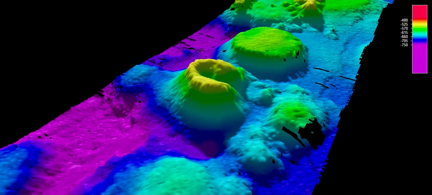
Mapping a hidden landscape.
During the mission, we surveyed: An underwater volcano — the Caldera, An isolated seamount, and Two drowned valleys.
Together, these surveys are helping build a high-resolution picture of the seafloor, its diverse habitats and the marine life that inhabits them, while expanding our understanding of these remote Arctic environments.
But mapping the landscape was only part of the story for us.
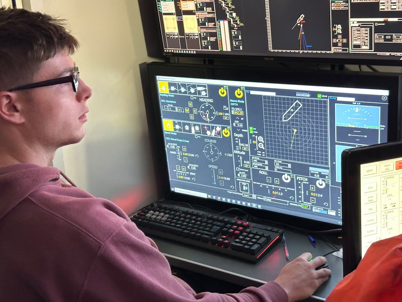
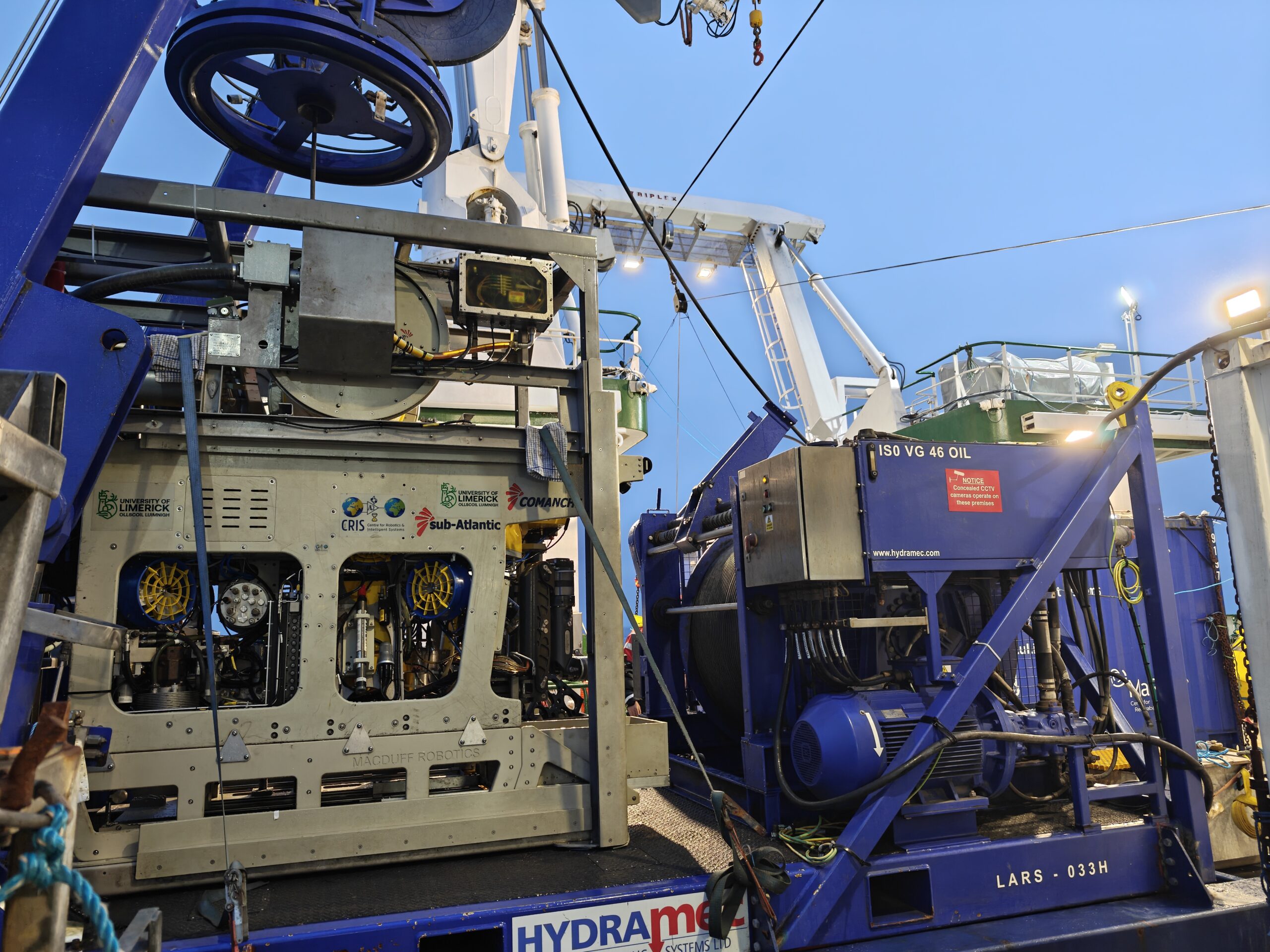
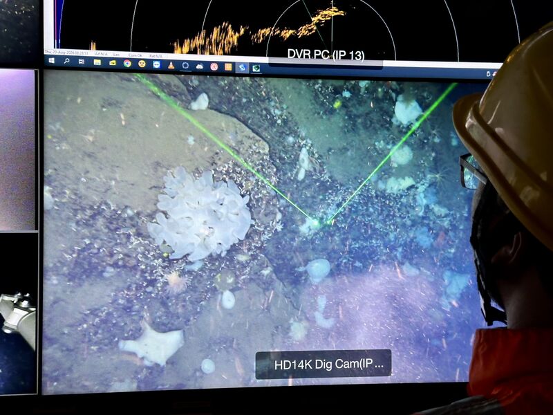
Taking our Etain ROV deeper. For this mission, the ROV was equipped with a newly integrated instrument skid, designed to give the science team an even closer look at life and conditions on the seafloor.
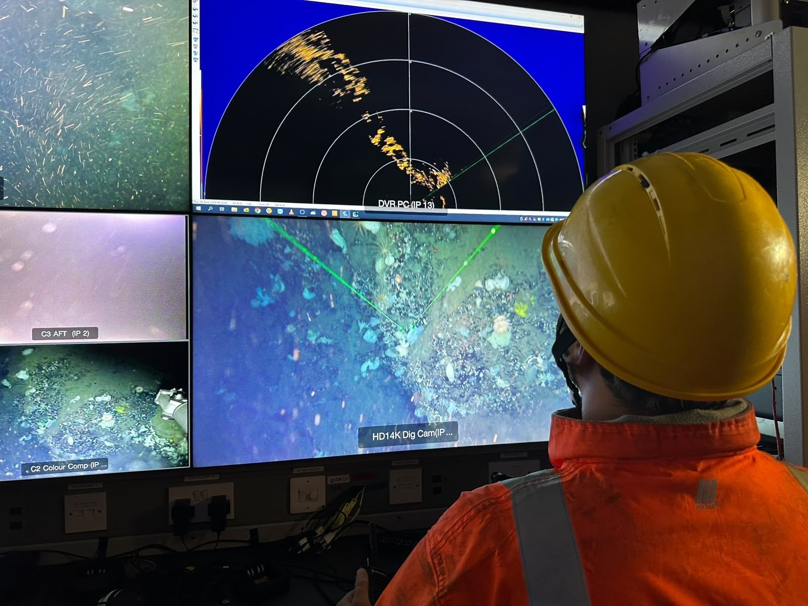
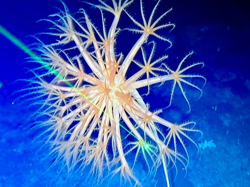
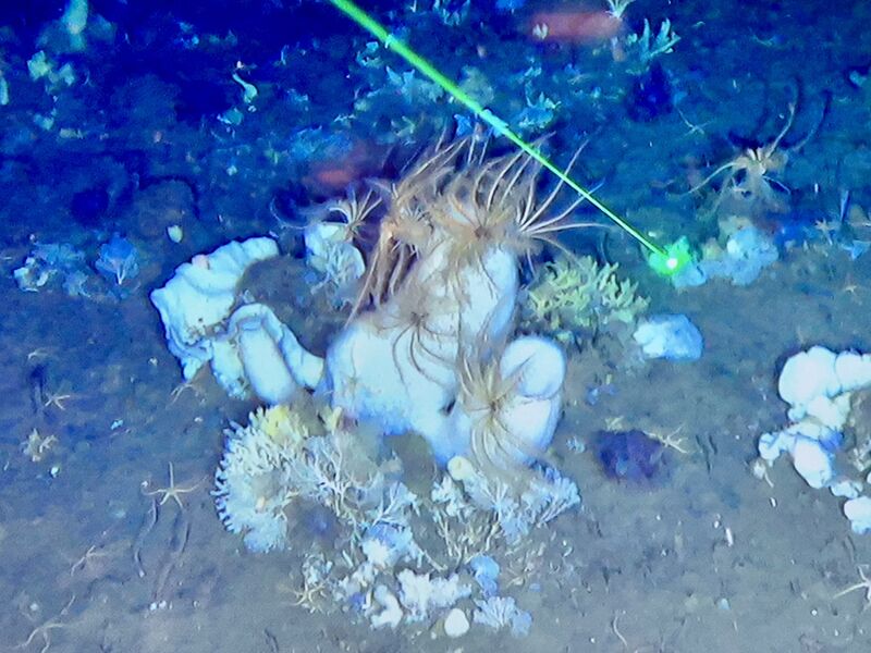
Its capabilities included: Hydraulic arms to collect animals at depth and push sediment cores. A Niskin bottle to capture water samples for analysis. A temperature sensor, supplied by the science team, to record conditions at the seafloor. Two 4K cameras – continuously recording the seafloor throughout the dives. Paired green lasers provided a scale reference, allowing researchers to understand the size of organisms and geological features captured in the imagery. Every dive added another piece to the puzzle.
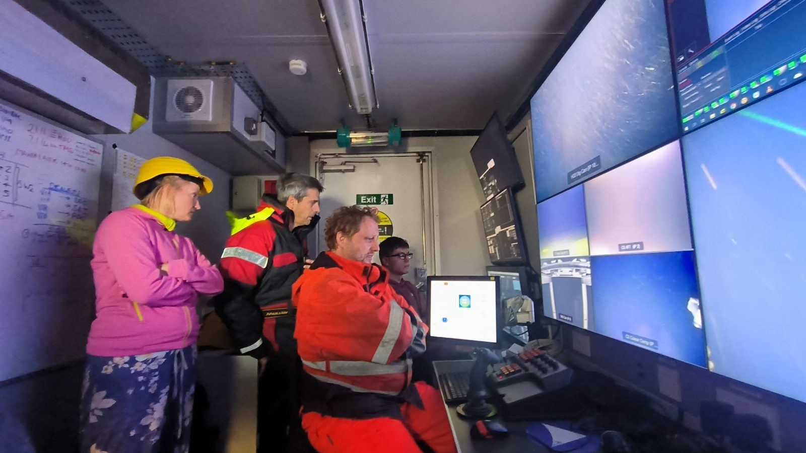
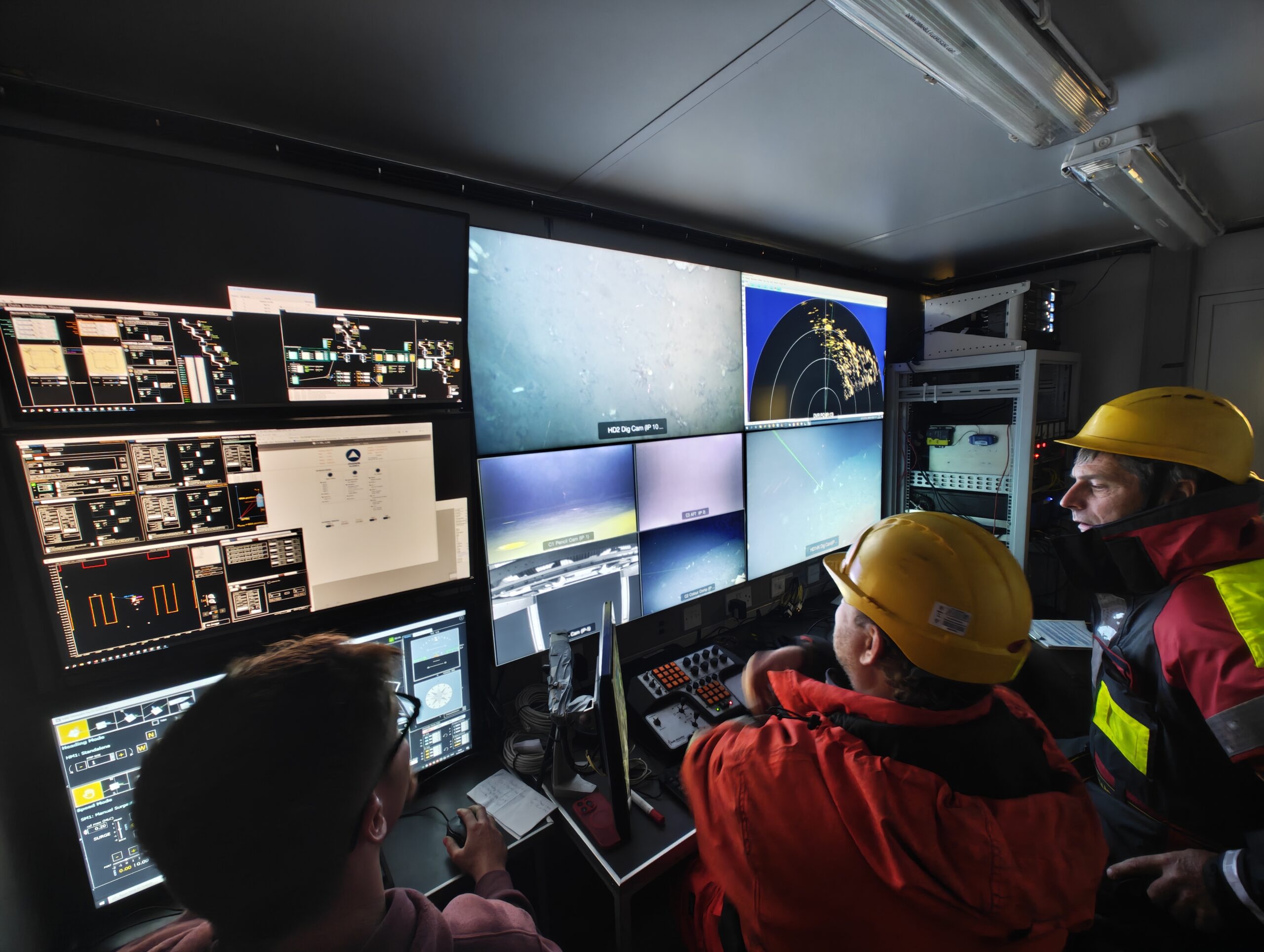
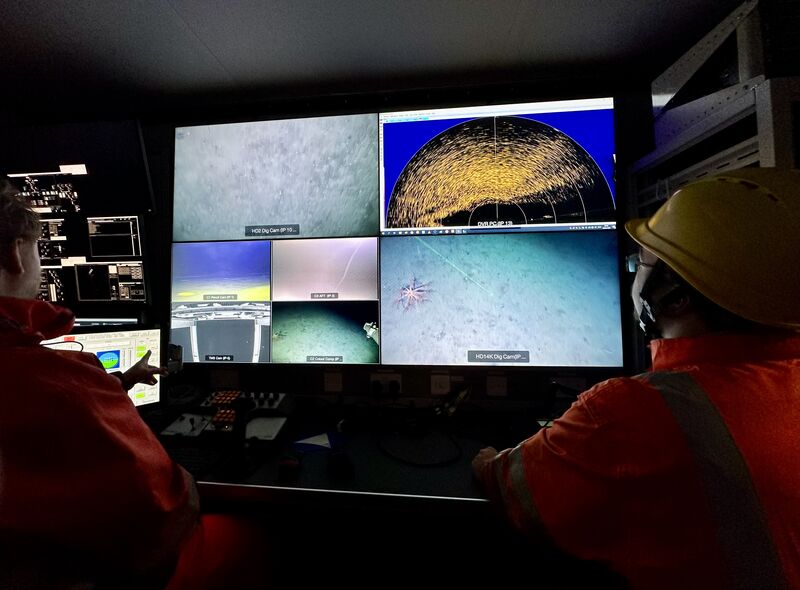
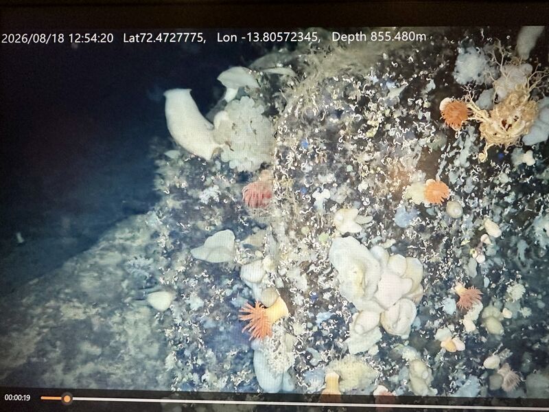
Seeing the unseen: There is something special about exploring an environment that is almost completely hidden from view. At these depths, the ROV becomes our eyes and hands – allowing us to document landscapes, collect samples and observe marine life in places that would otherwise remain inaccessible.
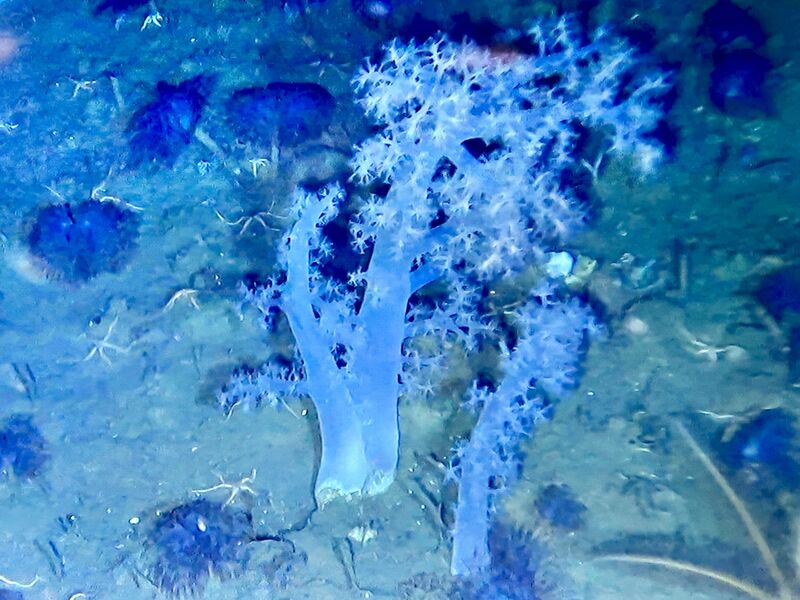
The result is not simply a collection of images. It is a detailed record that can help scientists understand Arctic seafloor ecosystems, geology and the extreme habitats associated with seamounts and hydrothermal systems.
Explore the mission. Want to see what we found? Visit our GitHub blog which brings more details on the surveys: A map showing every dive, and a gallery of imagery captured during the dives.
And if you are interested in ocean exploration and the infrastructures making missions like this possible, be sure to follow the AQUARIUS project for more updates and future exploration cruise.
A huge well done to Team Lead Ger Dooly, and to team members Anthony Weir, Hello Musselwhite-Veitch and Luke Griffin for their hard work throughout the mission.
We are looking forward for more deep blue waters and extreme environments.